About the Journal
CMU Journal of Science publishes quality research outputs in the field of natural sciences, mathematics, engineering, and social sciences from local, national, and international contributors. It is a peer-reviewed multidisciplinary journal published annually by Central Mindanao University, Musuan, Maramag, Bukidnon, Philippines. This official scientific journal of the University is accredited by the Philippine Commission on Higher Education (CHED) as Category B and indexed in Philippine E-journals.
CMU Journal of Science accepts papers such as original research articles, short communications, technical notes, review articles, and perspectives across all disciplines regardless of its perceived impact. All submitted papers must adhere to the accepted ethical and scientific publishing standards, research and publication ethics policies of CMUJS, and abide the guidelines for contributors before submitting manuscripts for publication.
CMU Journal of Science does not collect any publication processing fee to authors who want to submit and publish their manuscript in the said journal repository. CMUJS is also an open-access journal, which means all articles are available on the official CMUJS website free of charge. Moreover, a subscription fee of Php 250.00 is charged for those who wish to have a hard copy of the journal. Furthermore, the main author of any published research article in CMUJS may have a free hard copy of the journal in which his/her article is indicated.
Current Issue
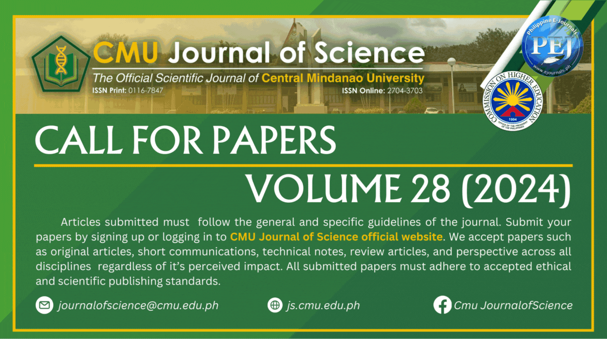
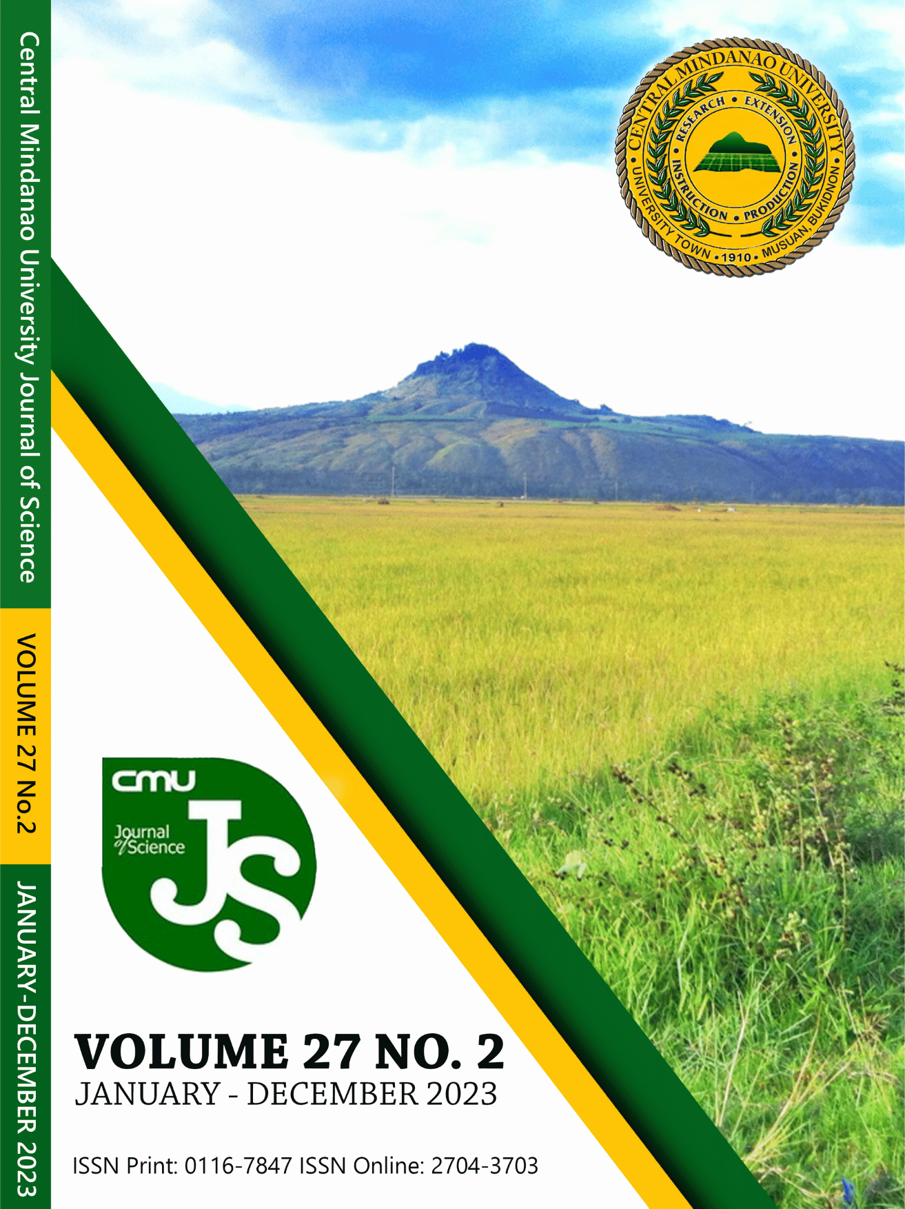
Vol. 27 No. 2 (2023)
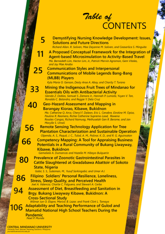
Vol. 27 No. 2 (2023) presents a diverse array of original articles covering various topics in research and analysis. Articles include investigations into communication styles among Mobile Legends Bang-Bang players, a proposed conceptual framework for integrating agent-based microsimulation into demand models, mining indigenous fruit trees for essential oils with antibacterial properties, geo-hazard assessment in Barangay Kiorao, adaptability of high school teachers during the pandemic, competency mapping in rural communities, Filipino soldiers' well-being, nursing knowledge development, diet and sanitation assessment in Bukang liwayway, remote sensing for tree plantation characterization, and the prevalence of zoonotic gastrointestinal parasites in cattle. This issue contributes valuable insights across multiple disciplines and domains.
Published:
2023-12-21
Full Issue
Perspective Article

Research Articles


ISSUE HIGHLIGHTS
"Embracing the challenge of developing uniquely our own theories is not merely a professional obligation; it is our pathway to shaping the future of nursing, ensuring our discipline's relevance in an ever-evolving healthcare landscape." - Demystifying Nursing Knowledge Development: Issues, Solutions and Future Directions
"In addressing dynamic challenges such as population growth and the COVID-19 pandemic, integrating agent-based simulators with activity-based travel demand models offers innovative solutions for transportation planning. This integrated approach enhances our understanding of travel behavior and enables proactive policy analysis, optimizing decision-making in a rapidly evolving transportation landscape." - A Proposed Conceptual Framework for the Integration of Agent-based Microsimulation to Activity-Based Travel Demand Models